
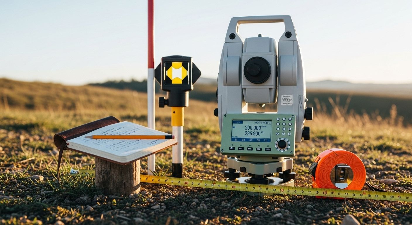
A boundary survey is about one thing: where your property legally begins and ends. A licensed surveyor goes out, researches the deed and historical records, locates or sets physical monuments at the corners, and produces a map that shows the legal limits of your parcel. If you're buying or selling land, refinancing, putting up a fence, settling a dispute with a neighbor, or getting a building permit, a boundary survey is almost certainly what you need. It's the legal document that says, with authority, this is where your land stops and someone else's starts. Title companies require it. Lenders often require it. And if you ever end up in a property line dispute, it's the document that holds up in court.
What's the Difference Between a Boundary Survey and a Topographic Survey?
If you've ever gotten a quote for a land survey and been asked which type you need, it's easy to feel like you've stumbled into a conversation you weren't prepared for. The two types that come up most often are boundary surveys and topographic surveys, and while they sound like they might overlap, they're actually answering completely different questions about a piece of land. Understanding the boundary survey vs topographic survey distinction early saves you from ordering the wrong one — which happens more than you'd think.
Do You Need a Land Survey Before Buying a Home? Probably More Than You Think
Get a Free Quote
Contact Us
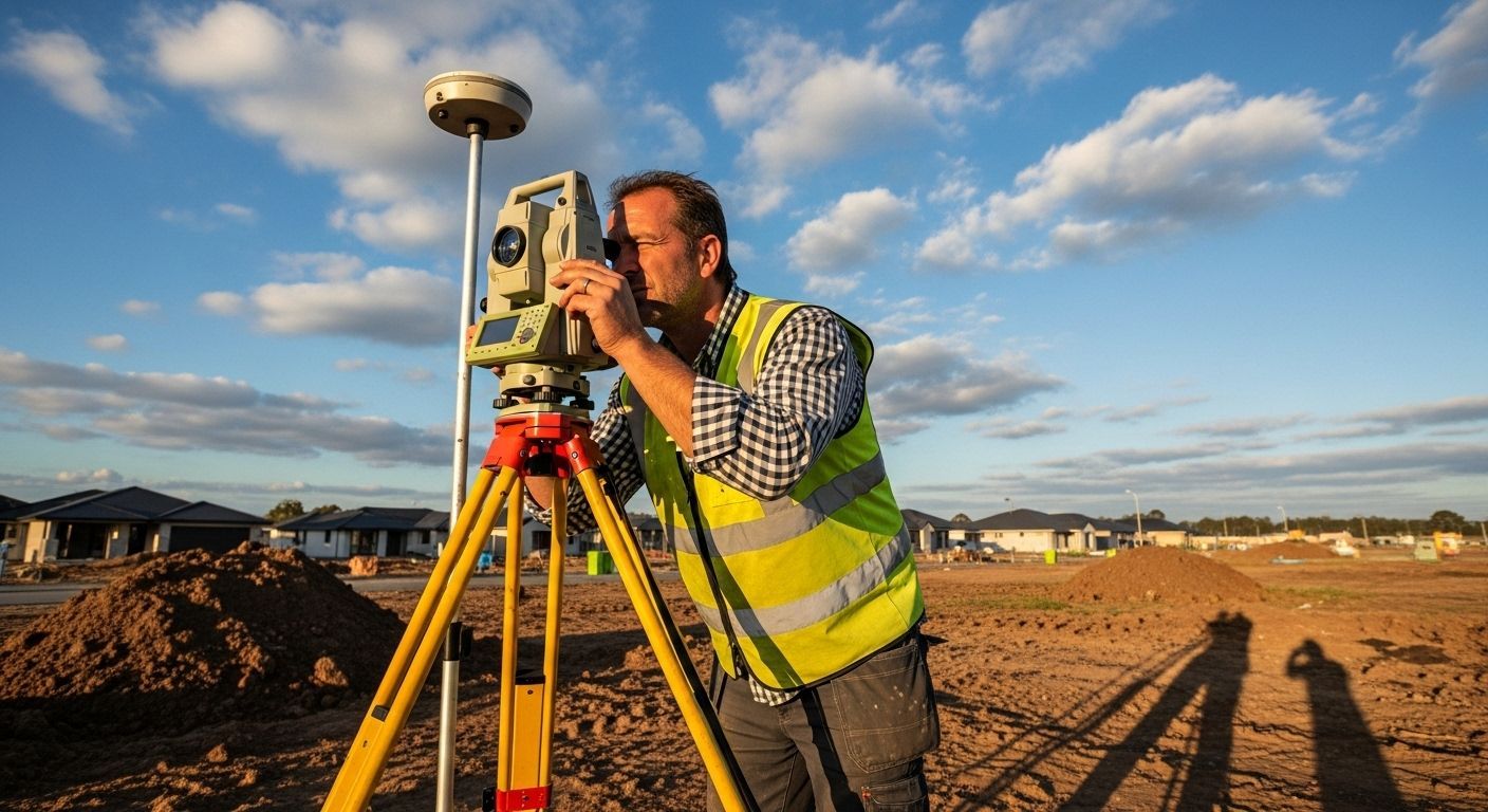
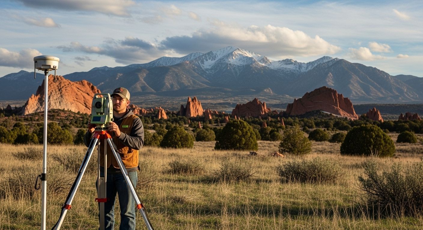
Why Choose a Licensed Land Surveyor in Colorado Springs?


Satisfied Clients
A topographic survey — sometimes called a topo survey — isn't concerned with legal lines at all. It's a detailed map of the physical features of the land: the elevation changes, the slopes, the drainage patterns, the locations of trees, structures, utilities, and anything else sitting on or shaping the surface. The output is usually a contour map showing how the ground rises and falls across the property. Engineers and architects lean on topo surveys heavily when they're designing anything that interacts with the land — a new building, a road, a retaining wall, a drainage system. You need to know how water moves across a site before you put anything on it, and that's exactly what a topo survey tells you.
So when does the boundary survey vs topographic survey question actually come up in practice? Usually when someone is planning a construction project. If you're building a house from scratch, you'll likely need both — the boundary survey establishes your legal limits so the building can be properly sited on the lot, and the topographic survey gives your engineer and architect the grade information they need to design the foundation, handle drainage, and lay out the site correctly. They serve the project at different stages and answer different questions, which is why confusing one for the other can send a project sideways early on.
It's also worth knowing that some surveys combine elements of both. An ALTA/NSPS survey, which is common in commercial real estate transactions, includes boundary information along with improvements, easements, and sometimes topographic data all in one comprehensive document. And some surveying firms will collect topo data at the same time as a boundary survey as an add-on, since the crew is already on site. If you think you'll need both eventually, it's worth asking about doing them together — it'll almost always be cheaper than two separate mobilizations.
The cost difference between the two varies a lot depending on property size, terrain, and location, but topographic surveys tend to run higher because of the density of data collection involved. Mapping every elevation change and feature across a large or heavily wooded parcel takes time. Boundary surveys on straightforward rectangular lots in areas with clean deed records can be relatively quick, though complex parcels with title issues or disputed lines can get expensive fast.
The simplest way to figure out which one you need is to ask yourself what decision you're trying to make. If the question is where the property line is — for a fence, a sale, a permit, or a dispute — you need a boundary survey. If the question is what the land looks like in three dimensions so something can be designed or built on it, you need a topographic survey. And if you're planning a significant construction project, assume you'll need both and budget accordingly. Either way, a quick conversation with a licensed surveyor in your area will get you pointed in the right direction faster than trying to figure it out on your own — they ask these questions every day and can usually tell you within a few minutes which type fits your situation.
Colorado Springs Land Surveyor Near Me?
Broadmoor, CO
Northgate, CO
Briargate, CO
Flying Horse, CO
Old North End, CO
Cathedral Pines, CO
High Forest Ranch, CO
Cedar Heights, CO
Peregrine, CO
Winsome, CO
Rockrimmon, CO
Cordera, CO
Wolf Ranch, CO
Black Forest, CO
Monument, CO
Manitou Springs, CO